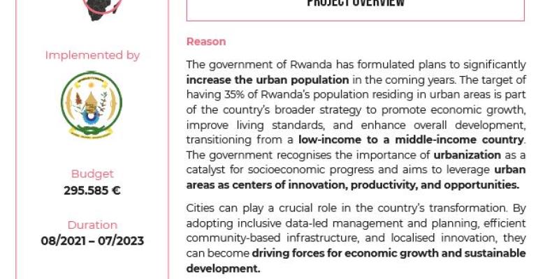
Rwanda has ambitious plans for exiting from low-income to the middle-income countries’ status with 35% of its population living in urban areas by 2024 and 70% by 2050. It adopts various policies, strategies, land use planning tools and related regulations as one of the instruments to guide the development. However, these do not yet constitute a coherent framework allowing the implementation of diverse strategic plans. Because of a lack of a fast and powerful digital tool capable of spatially balancing the development trends of the country, the development of the territory is uncontrolled, which generally lead to negative results in the context of prioritization and budgeting.
On the basis of the Rwandan Vision, it seems clear that the entire territory should sustainably play a crucial role in the development; planning is therefore necessary based on a thorough understanding of the territorial structure and ongoing developments in the Country. The Spatial Development Framework (SDF) bridges the gap with the territory development plans and regulatory documents on territory development. The spatial analysis carried out using Geographic Information System (GIS) based tools allows visualizing the level of urban and socio-economic development for balanced decisions.
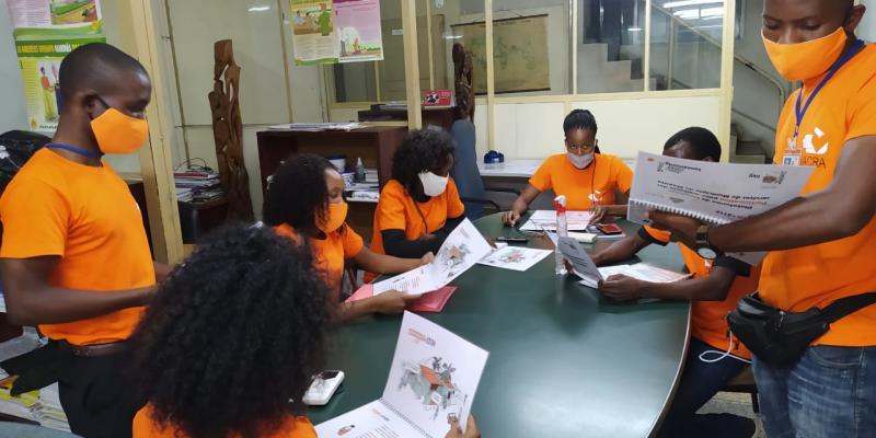
The project will help getting a better understanding of the existing planning processes, institutionalisation and use of the SDF in cities’ planning processes. The development of an Urban Dynamic Map will engage different stakeholders and contribute in the collection of real time updated spatial and non-spatial data which is reliable for urban development decision making. Moreover, decision rooms will be provided alongside required skills to utilise them.